Well ... my plans on spending a couple of days out camping got squashed by the change in weather on day 2. The winds picked up, the rain clouds moved in and the temperature dropped. But, I did get in one really good day of touring and camping, so the trip wasn't a complete "wash out".
Now, just as a warning, this is going to be a long post :-) plenty of historical info will be added into this one.
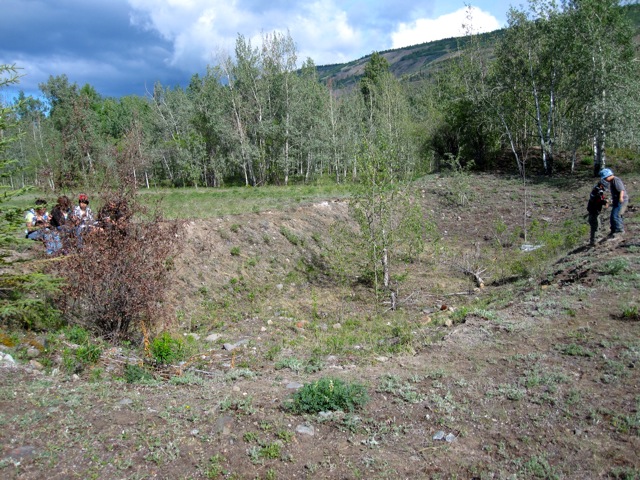
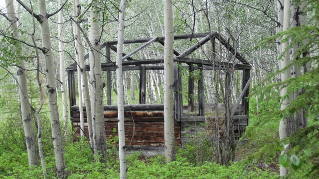
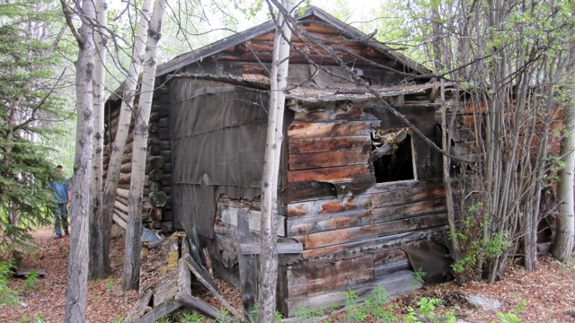
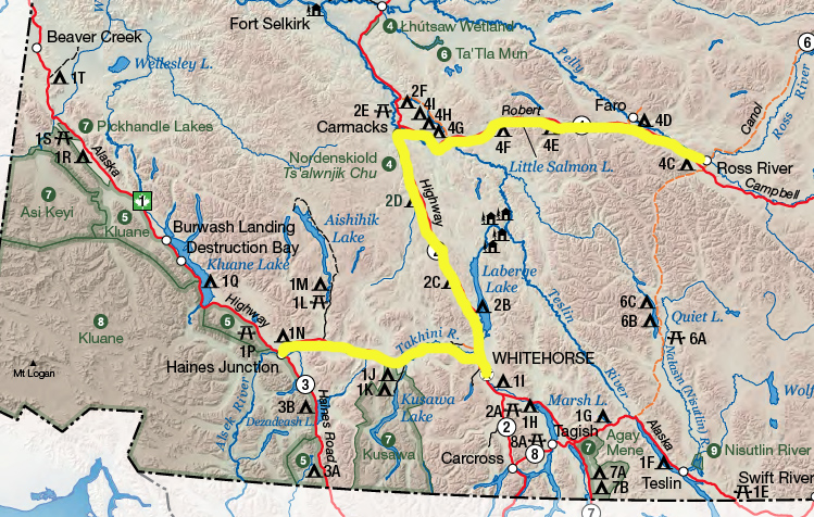
The drive down to Haines Junction along the Alaska Highway was pretty uneventful. Saw a couple of young Grizzlies, a herd of horses, and plenty of squirrels. Along the way down I did manage to hit a couple of Historical Sites (at least those that were accessible) .. next time, I'll need to make sure that I have them all written down so I can keep an eye out for the mile markers.
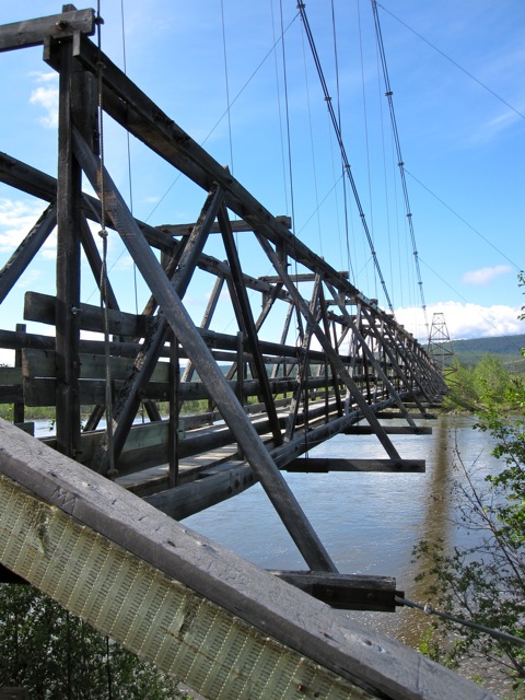
Canyon Creek Bridge
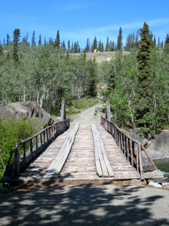
Canyon Creek Bridge was built during the gold strike in the Alsek River (1903). During this time a stampede of miners flocked to the area to strike it rich. A wagon road was built from Whitehorse in the next year and Sam McGee and Gilbert Skelly, constructed a substantial bridge over Canyon Creek. This bridge survived heavy traffic and high spring floods until the 1920s when the government contracted the Jacquot brothers from Burwash Landing to rebuild it.
In 1942, during construction of the Alaska Highway, the old bridge was dismantled and a new one was hand-built in 18 days. It has been described as the most ambitious and important bridge to be built by the US Army 18th Engineers. When the Public Roads Administration built permanent bridges along the highway, the old pioneer bridge was left in place. The Canyon Creek Bridge was reconstructed by the Yukon Government in 1986/87. Approximately 10% of the original bridge was left in place and 85% of the cribbing.
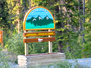
Pine Lake Campground
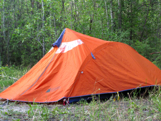
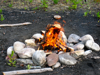
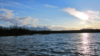
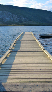
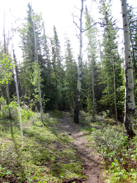
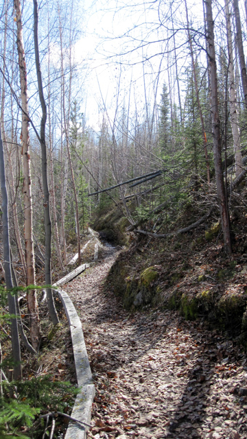
Pine Lake Campground is a Yukon Government run site. It was a nice place to camp out ... other than all of the RV's revving up their generators at all hours to have power. It is located about 6km outside of Haines Junction and has the usual campground necessities - outhouses, fire pits, chopped firewood and potable water (something that not all government sites have). Pine Lake also has a day use beach, playground and dock for boats.
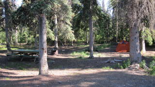
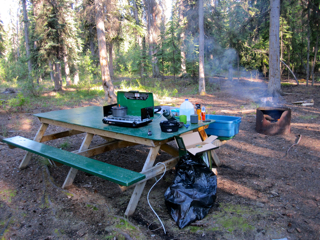
My Campsite, Number 7/8My first campstove and cooksetPine Lake (around midnight>
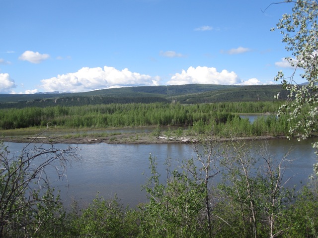
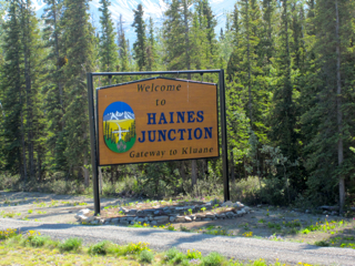
Haines Junction
The View Coming into Haines Junction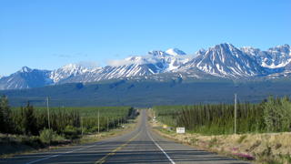
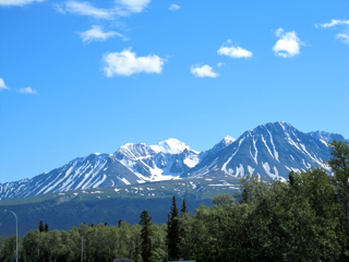
Is one BEAUTIFUL place. It has now made my list of "places I must live in while residing in Yukon". The Village of Haines Junction lies in the Shakwak Valley in southwestern Yukon and has, by far, one of the most amazing landscapes that I have ever seen.
Haines Junction, like many of the other communities in the Yukon, is home to several First Nations Groups. Champagne and Aishihik First Nations live in and around the area of Haines Junction and are a self-governing First Nations Group.
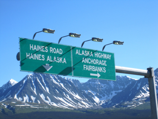
The establishment of Haines Junction dates back to 1942 and the construction of the Alaska Highway during WWII. The following year a branch road was built from Haines, Alaska over Chilkat Pass to join the Alaska Highway. Portions of ancient travel routes became pioneer roads built for vehicle traffic. Situated at the junction of these two roads, Haines Junction was a construction camp and an important supply and service centre for the U.S. Army Corps of Engineers building the highway.
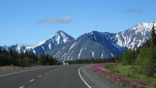
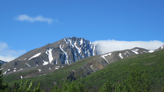
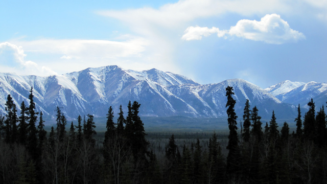
Alaska Highway, Heading Towards Kluane National Park / Haines Alaska
All I can say is WOW.
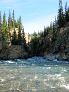
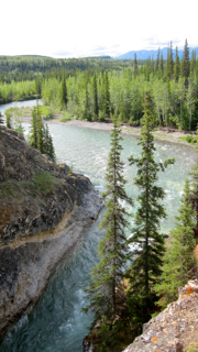
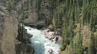
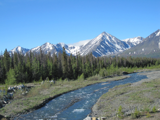
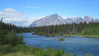
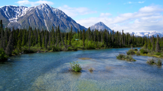
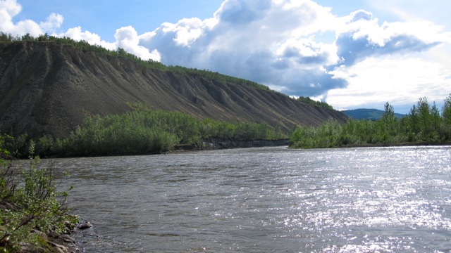
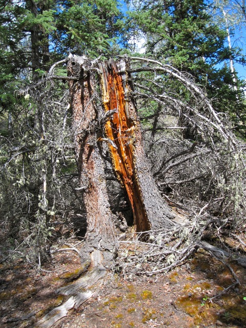
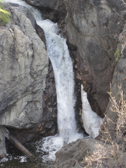
Quill CreekKathleen RiverKathleen River
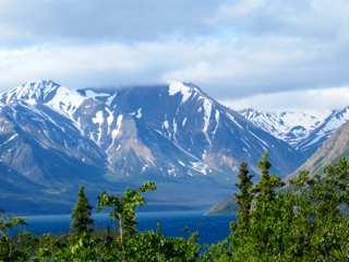
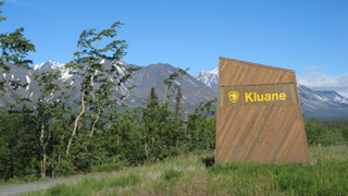
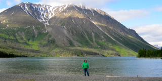
Kluane National Park
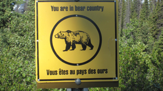
Oh, only if the weather would have cooperated more / I had a gun / there were no grizzly sightings. Beautiful place to visit. Maybe, after summer break I'll head back there and take one of the flying tours of Kluane and the Glaciers (only about 130$ per person ... would definitely be a trip of a life time).
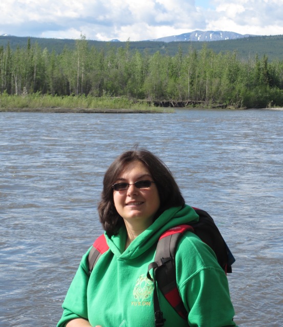
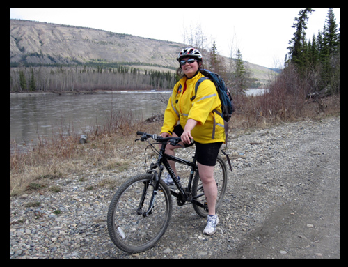
Kennie at Kathleen Lake